This year's fieldwork comprises new survey in the Lac de l'Eychauda area of the Ecrins National Park and also in the highest altitudes in the Faraval area. As well as differential GPS survey of strcutures, we are looking for flint scatters. Also, our colleague, Brigitte Talon from the Institut Méditerranéen d'Ecologie et de Paléoécologie is carrying out a pedoanthracological study of the two areas. This work comprises the excavation of soil pits and the sampling of sediments from which charcoal is then extracted, and the identified in the laboratory. The charcoal can be radiocarbon dated and we thus develop a clear image of how vegetation has changed over the centuries. The comparisson of the charcoal data with that already obtained from pollen diagrams allows us to address issues of human and climatic impacts on Alpine vegetation.
Sunday 8 August 2010
Saturday 7 August 2010
Vallon de la Pisse
A number of structures were surveyed here (using differential GPS). One or two of these structures are very similar to the Bronze Age enclosures already excavated elsewhere in the Ecrins as part of this project.
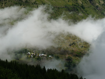
Fassinating Clouds...
There is a serious point here, as cloud formations in the mountains change quickly and dramatically, with different forms indicating weather past and future.
As climates change, the nature and frequency of cloud formations change too. Clouds are, and always would have been, an important type of environmental information.
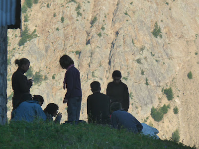
Brigitte Talon and her Team Digging a Soil Pit on the Faravel Plateau
A series of pits were dug around this area. Samples were taken, and charcoal will be extracted in the lab', identified and dated. This work allows us to identify the extent and nature of the forest and other vegetation in the past. The comparison of these results with our pollen diagrams permits a detailed characterisation of vegetation change in the area.
The Highest Arrowhead in France
Whilst such objects are plentiful at lower altitudes, this is an extraordinary find for the alpine zone.
A view of the Freissinieres Valley from 2400m
The important element here is the tree line (currently at c. 2000m). As noted above, understanding of the waxing and waning of the forest is essential for our research. Changes in the nature, and vertical extent of trees and plants are a response to the complex interplay of people and climate. Mountain environments are incredibly sensitive to environmental change and human activity.
Subscribe to:
Posts (Atom)


